The special landscape of the Mullerthal, Luxembourg’s little Switzerland, was formed 250 million years ago, during the Triassic and Jurassic periods, at a time when this region was still the bed of an ocean. Sea and rivers have shaped the layers of this sandstone, limestone and dolomite rocks creating what is today the beautiful landscape of plateaus and deep valleys of the Mullerthal.
Most of these incredible rock formations can be seen along the Mullerthal trail, which is a 112 km long trail, divided in different sections. The Mullerthal Trail has been awarded the label “Leading Quality Trails – Best of Europe”.
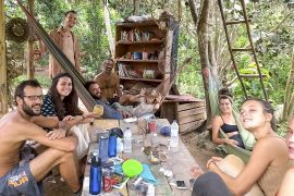
Below are some of the most beautiful landmarks of the Mullerthal.
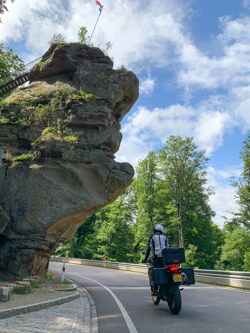
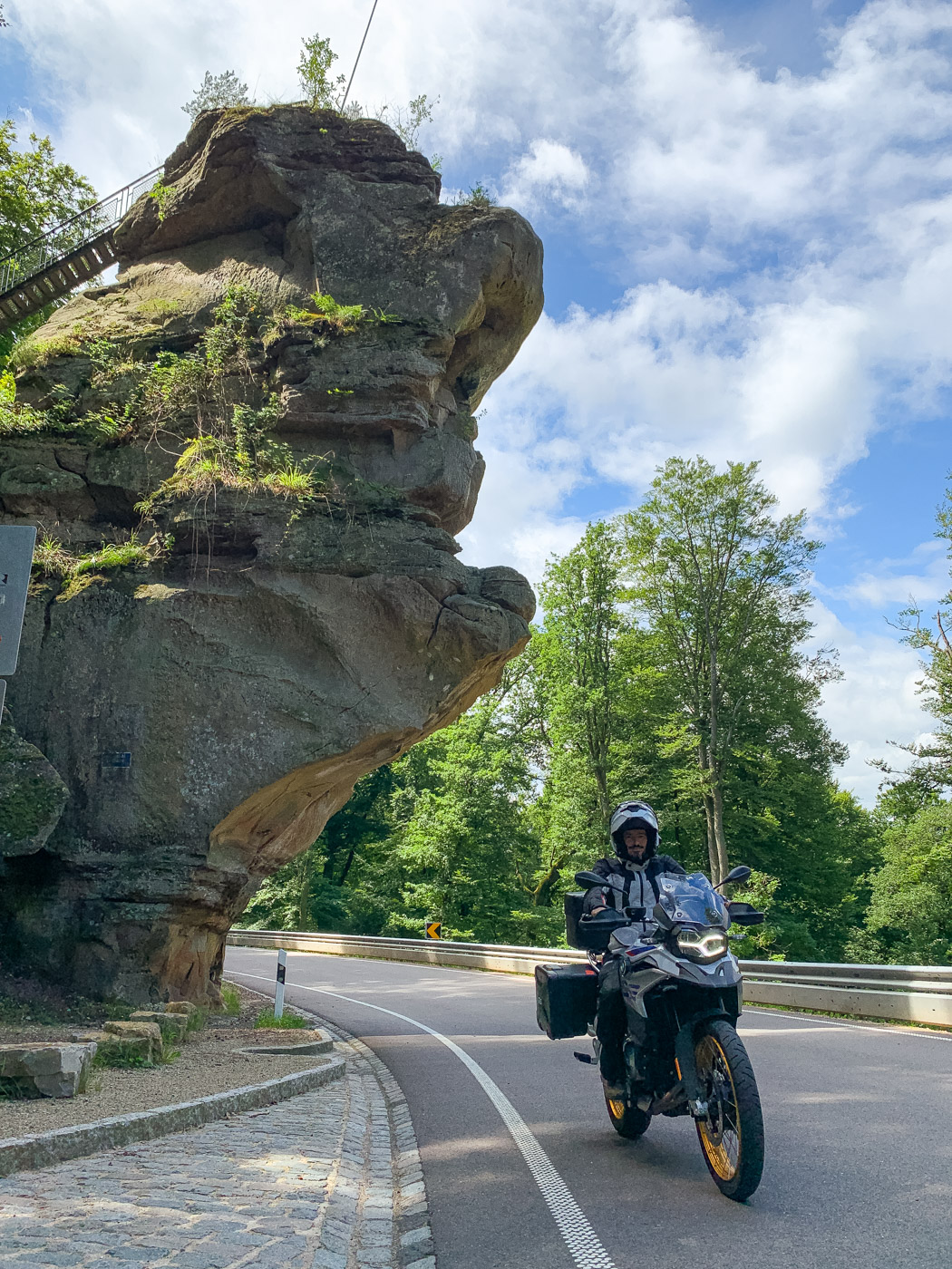
1. Perekop (Berdorf)
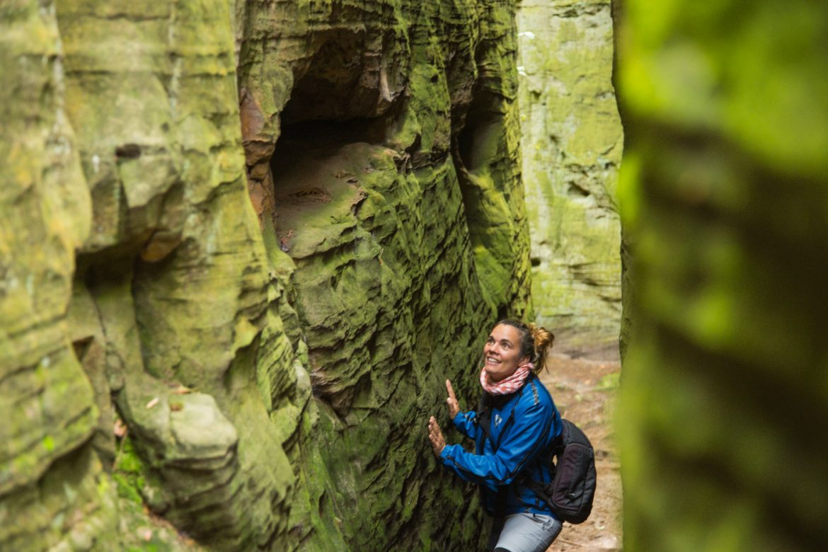
The Perekop is a massive vertical wall located on the road between Berdorf and Echternach. This is probably the most visited landmark because of its easy access, next to the road. It’s a giant rock formation with a fissure where stairs have been carved and that lead to a higher level on the forest.
2. Hohllay (Berdorf)
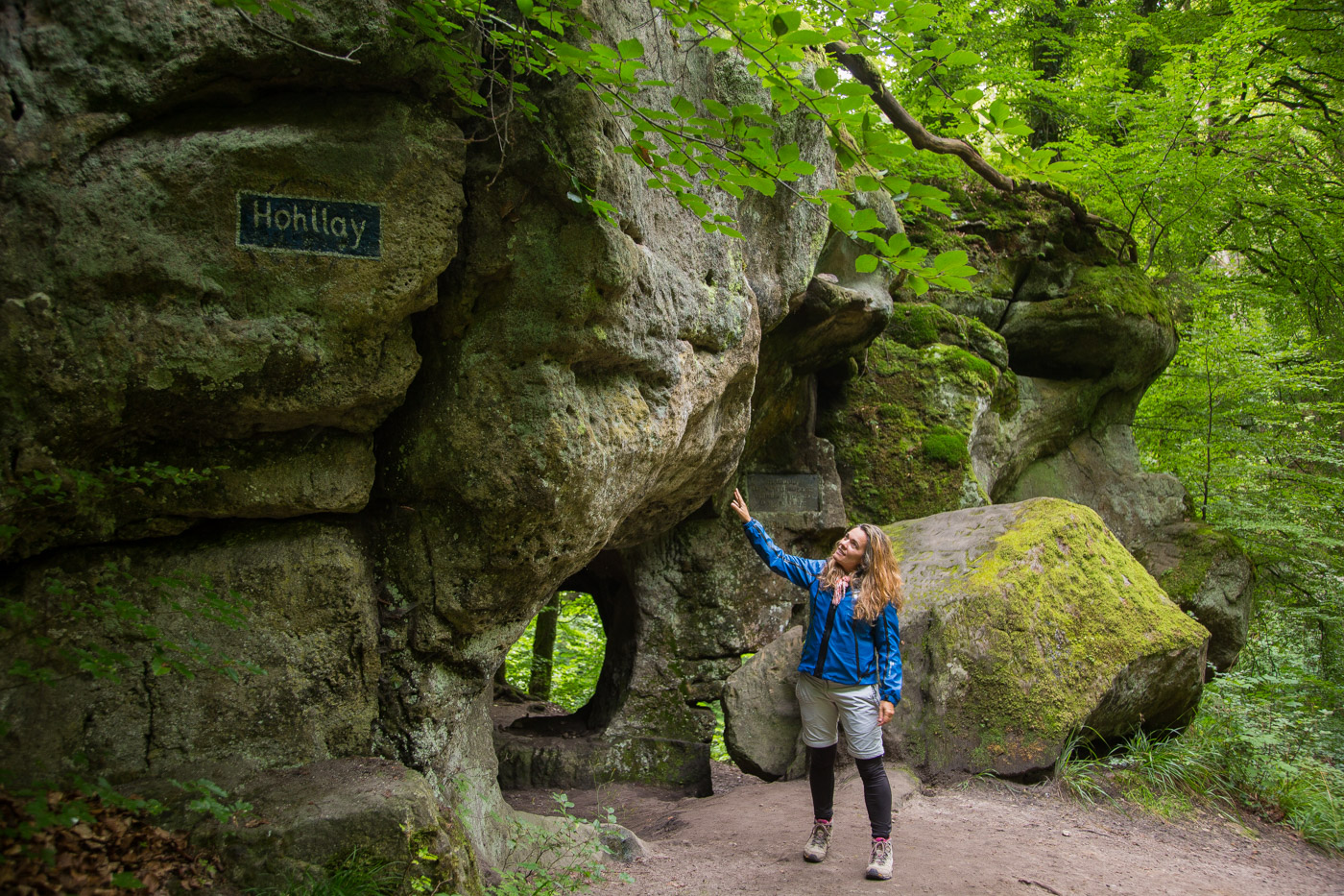
The Hohllay is another interesting rock formation which appears along the Mullerthail trail. Hohllay means “hollow stone“ and is a reference to this cave itself which has been hollowed out by man to get its stone.
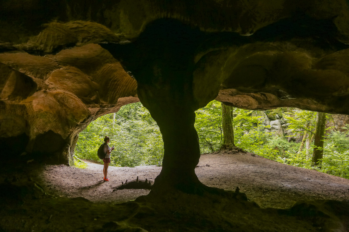
It is known that already the Romans have used stone from the Hohllay for the construction of their buildings. Later on, important millers from the region got the millstones for their mills from here. Today, it is still possible to see the circular bulges from where the millstones were extracted.
3. Ruetsbechschlëff (Berdorf)
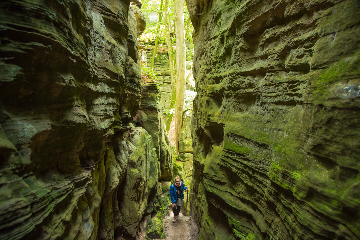
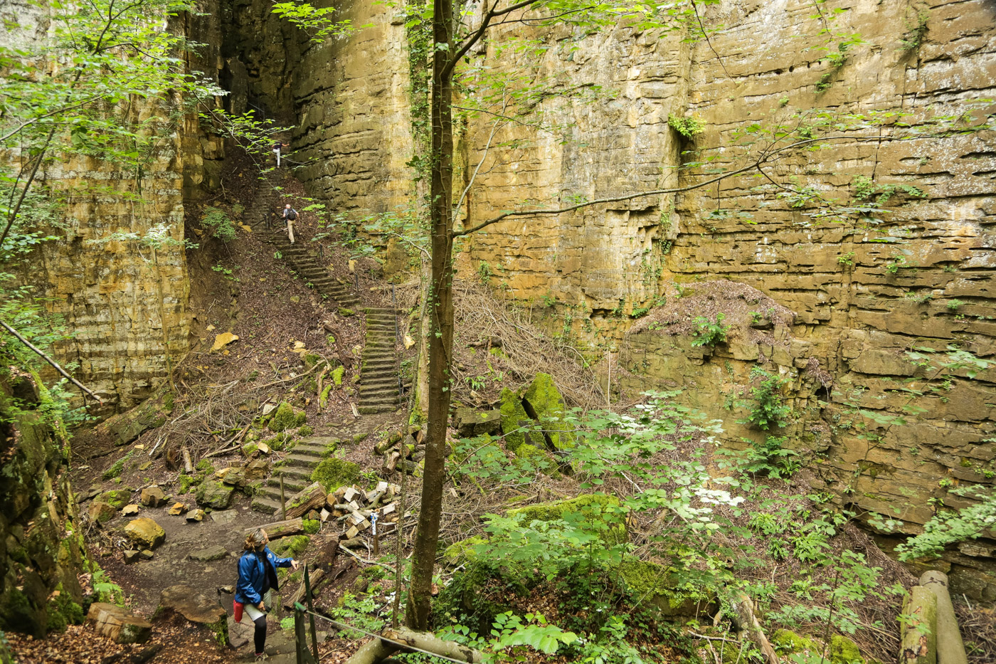
The Gorges of the Roitzbach (Roitzbachschluff in German) are one of the most incredible sights of the Mullerthal region. They are a series of crevices formed on the rock, where paths have been improved with steps so that one can actually walk along them. Some of these gorges are numbered (such as the ones of the Siewenschluff) so it gets a bit easier to find one’s way in this labyrinthic canyon, but it is also fine to ignore the numbers and just follow one’s wish.
4. Raiberhiehl (Berdorf)
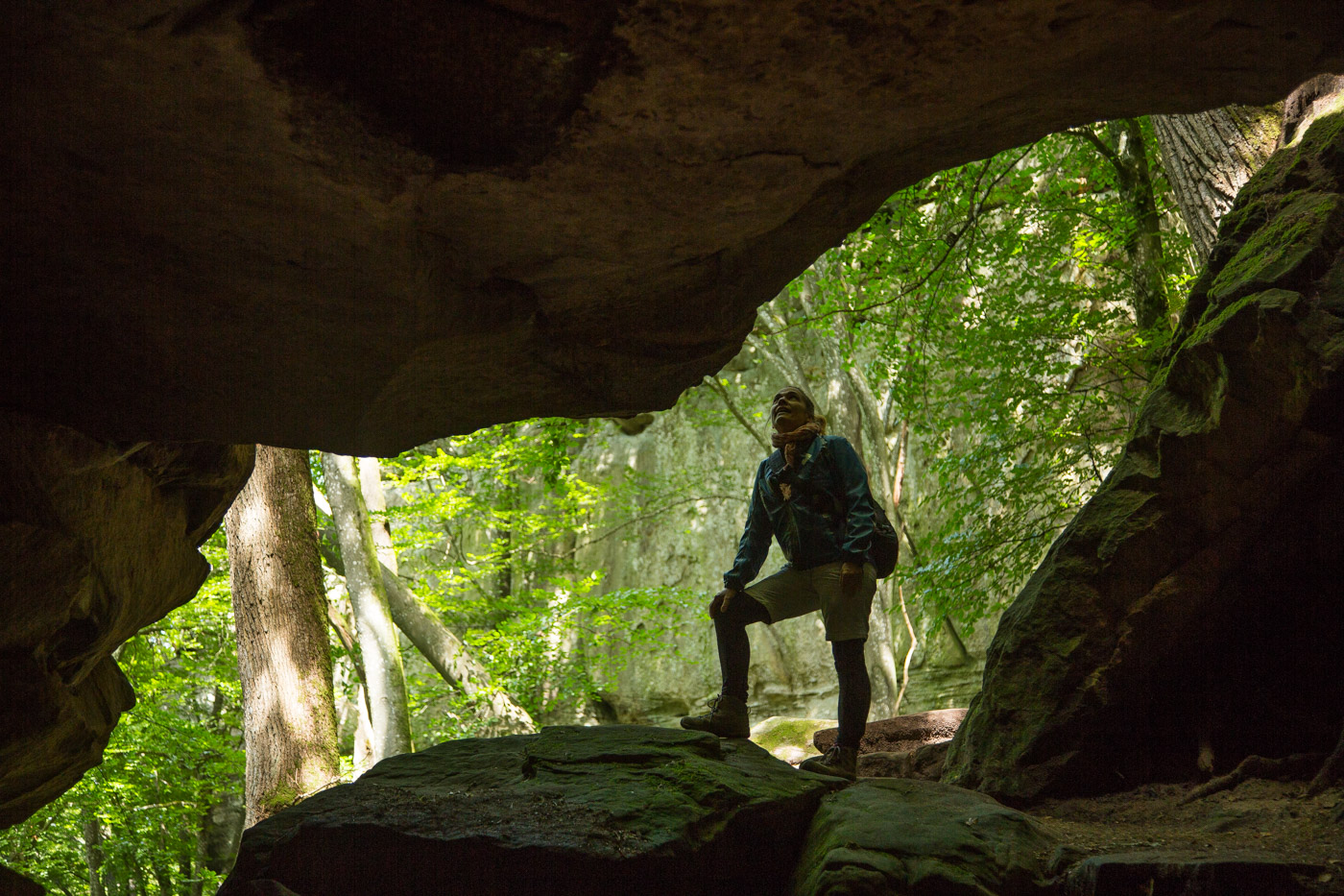
Raiberhiehl is the Luxembourgish word for the thieves’ den (Rauberhölle in German or le Repère des Brigands in French). This hidden cave is difficult to reached, through a very narrow and dark passage, it was therefore the perfect place for thieves to hide their stolen goods. From there, you have the option of climbing steep iron ladders to the Adlerhorst viewpoint, where the path continues. This landmark is situated along the local path B2 in Berdorf.
5. Teufelsinsel & Adlerhorst (Berdorf)
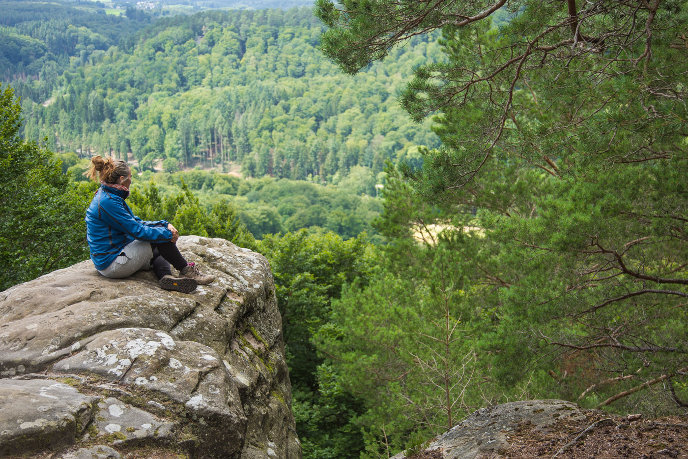
After the thieves’ den, you have either the option of climbing two steep iron ladders to the Adlerhorst (Aire de l’Aigle) viewpoint, or alternatively, you can reach the same path by circumnavigating the rock. This alternative is better for people with reduced mobility or for anyone who doesn’t feel comfortable climbing steep ladders.
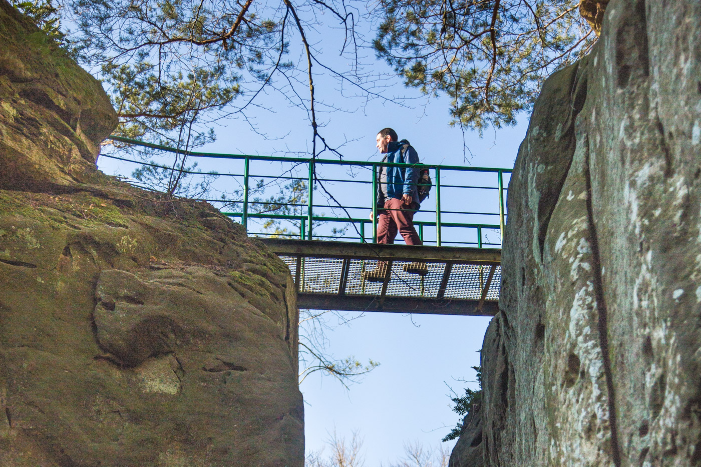
A few metres along the path, we reached the iron bridge which gives access to the Teufelsinsel. This is an easy bridge to cross, though people suffering from vertigo may wish to skip it. But that really would be a pity, because the Teufelsinsel offers excellent views over the forest and valley of the Mullerthal.
The Teufelsinsel (the Island of Devil) is a high plateau on the rocks. One of its accesses is through a narrow and steep iron stairs, but there is a second access easier to reach. On sunny days, the Teufelsinsel is a favourite place for the picnics of hikers who are walking the Mullerthal trail or doing any of the smaller trails that pass-by.
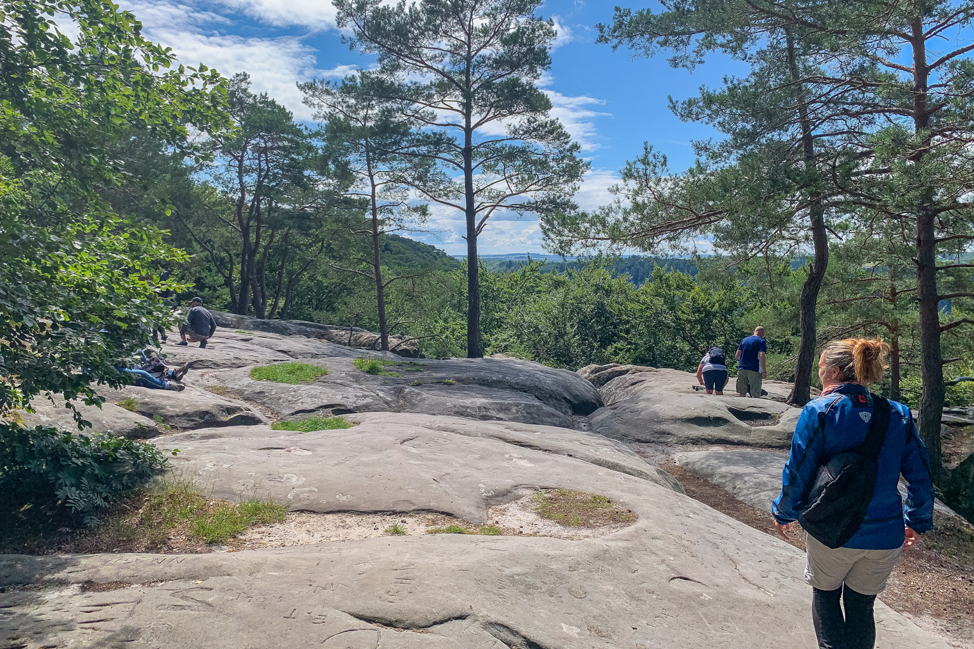
6. Priedegtstull
The Priedegtstull (the Pulpit) is an popular rocky formation, whose name was chosen due to its similarities with a church pulpit. Nowadays it is possible to climb until the top of the pulpit via a stone and iron staircase.
7. Wanterbach (Berdorf)
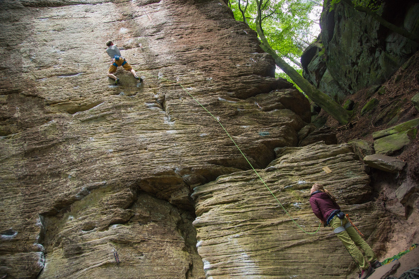
Climbing is possible on the rock faces of the Wanterbach near Berdorf. Here the walls are prepared with anchors, and in summer time, or during weekends, the place is all about ropes, carabiners and harnesses. Climbers love the area that offers different levels of difficulty and hundreds of climbing routes.
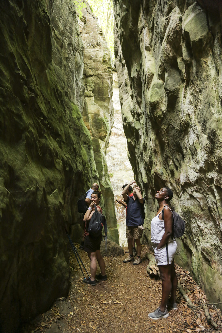
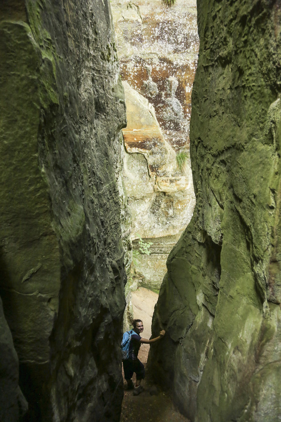
8. Siweschlëff (Berdorf)
Another beautiful labyrinth in the Mullerthal region. The name Siweschlëff means Seven Gorges (Siebenschluff or Sept Gorges). There are seven paths, all of them well signalled. Children as much as adults love to get lost betwwen the narrow and tall crevices. Some of them are much too narrow for some adults. Make sure you do not get stuck in one of them. This labyrinth can be explored on the 4.2 km long local circular route B2.
9. Wollefsschlucht (Echternach)
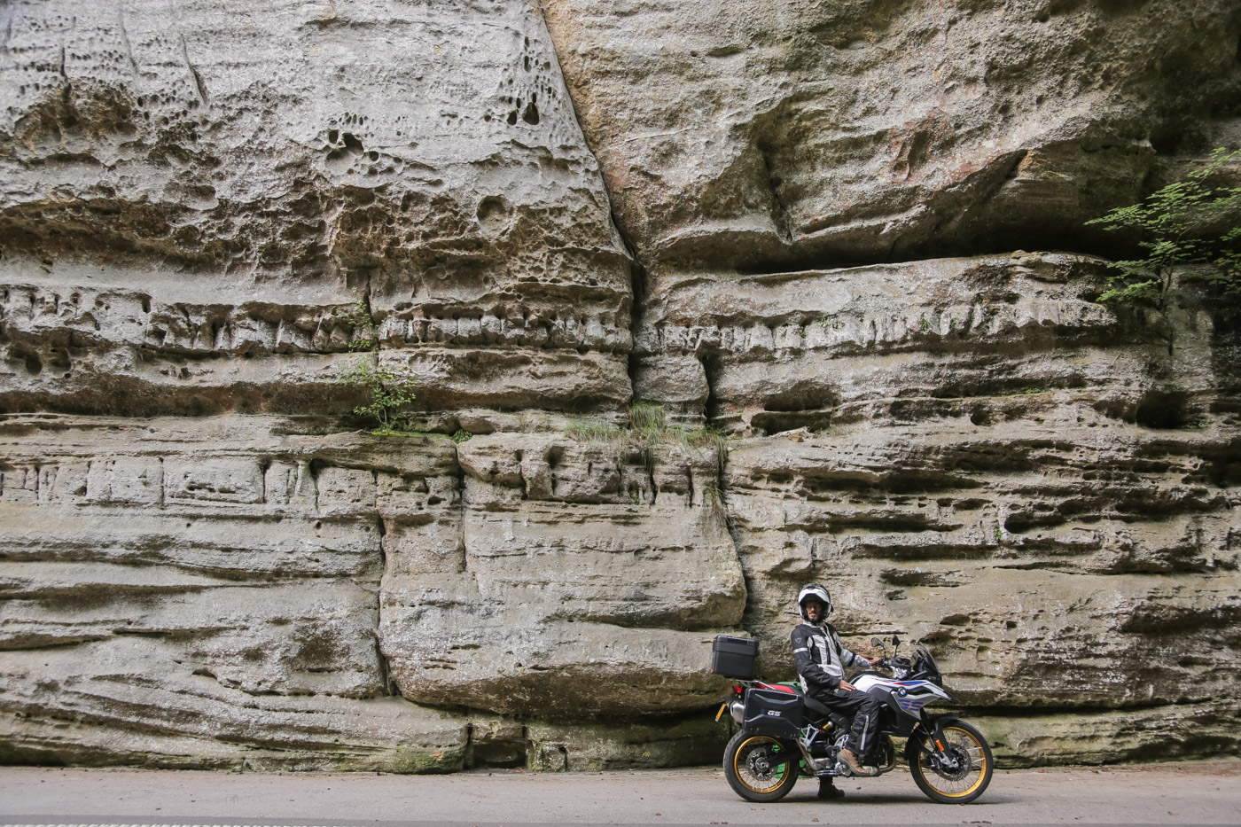
One of the most spectacular natural monuments of Luxembourg’s Little Switzerland is the Wollefsschlucht – Wolf Gorge (Gorge du Loup) – near Echternach. The structure and stratification of the Luxembourg sandstone can be seen very well on the rock faces rising up to a height of 50 meters. The gigantic canyon was created when blocks of Luxembourg sandstone separated from the sandstone plateau along valley-parallel crevices. At the entrance of the gorge don’t miss the ‘Needle of Cleopatra’, a high obelisk-like rock. The Wollefsschlucht is crossed by Route 2 of the Mullerthal Trail.
10. Kuelscheier (Consdorf)
The name Kuelscheier is a narrow rock cave near Consdorf. The name probably developed from the fact that charcoal from the coal mines in the surrounding area was temporarily stored in the clefts of the rock group. The columns served as a kind of barn and thus got the name Kuelscheier, i.e “coal barn”. The Kuelscheier is located directly on Route 2 of the Mullerthal Trail. It can also be hiked via the local hiking trail C2.
11. Schéissendëmpel waterfall (Mullerthal)
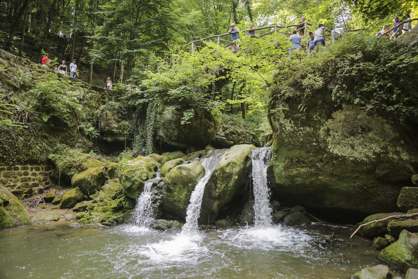
When we talk about the Schiessentümpel, we also refer to the bridge and the waterfall on the Black Ernz. The sandstone bridge was built in 1879 and although it has no practical function in terms of mobility in Luxembourg, unlike other large bridges, it has been the symbol of the Mullerthal Region – Luxembourg’s Little Switzerland since 1879. Before 1879, the region was difficult to access. It was said to be dangerous for people and would resemble a primeval forest. It was called: “The Land of the Wolves”.
The waterfall is situated just about 500 metres away from the parking. You can walk along the road or take Mullerthal Trail Route 3 towards Mullerthal.